
Montgomery County Neighbors by Block
Public sources around a Montgomery County address answer narrow questions. A parcel map can show the surrounding land geometry and available parcel fields. An MCAD appraisal card can identify the displayed owner, mailing field, legal description, and deed-history keys. The County Clerk records recorded interests in the block or subdivision. Elections and association routes have much tighter limits. None of these sources is a complete list of people who live nearby.
| Source | What It Shows About a Block | Access |
|---|---|---|
| MCAD tax-parcel public view | Parcel geometry and exposed PartyName or legal-location information for the target and surrounding parcels | Public map service; full pop-up fields were not captured |
| MCAD property search | Displayed appraisal account, owner, separate mailing and situs fields, legal description, and deed-history keys | Public property-search routes |
| County Clerk Official Records | Recorded instrument, party roles, lot or subdivision wording, restrictions, easements, dates, and available image route | Official Records Search |
| Elections Street Database | Street-address registration lookup route using house number, street name, and ZIP | County street search; not a household census |
| Association and community leads | Management-certificate contact path or publicly named community place | State search and published official notices; no member roster located |
A close parcel is spatial context only. A shared fence line, subdivision, or association does not establish a personal connection. Use the map to organize factual land records, and keep owner, mailing address, situs, and resident evidence separate. Note: A voter or property result has a record-specific purpose and cannot prove the full membership of a nearby household.
Map Montgomery County Neighbors Through GIS
The City of Conroe map services provide the Montgomery Central Appraisal District Tax Parcel Public View and a basemap with MCAD county, abstract, subdivision, lot, city-limits, ETJ, surrounding-city, street, building, and county-context layers. The parcel REST service exposes identify, query, find, export, and KML capabilities. Its visible layer fields include PartyName and LegalLocationDesc, though the complete interactive parcel pop-up was not captured during research.
- Normalize the target address, including house number, street name, direction, suffix, city label, and ZIP, then use a geocoder or map search to locate it.
- Open the target parcel and record its public parcel identifiers, legal description, subdivision, lot, block, abstract, and map context where exposed.
- Click adjoining parcels one at a time. Preserve what the map actually displays and compare the lot or subdivision context rather than assuming a relationship.
- Use MCAD to review the displayed account fields, then use the County Clerk index for an instrument, plat, restriction, or deed question.
- Keep the map date or saved map URL when available so the location evidence remains tied to the service view used.
The Conroe GIS basemap service supplies the layers used to frame a Montgomery County neighbors search.
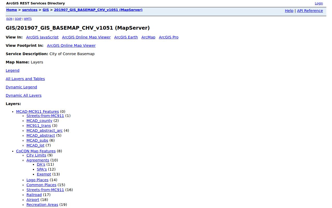
The mapped layers help distinguish an adjacent parcel from the larger postal and municipal areas that may share the address label.
Montgomery County Neighbors and Parcel Roles
MCAD offers Compound Text, Property ID, Account, Owner, Address, Owner ID, Geographic ID, Tax Office ID, Legal Description, Map, Abstract, Subdivision, Market Area, and advanced-search routes. An address search leads to the situs or location field. A legal-description or subdivision search can help with adjoining lots. The map supports spatial context. Use the appraisal year selector as displayed, because value and ownership-related data can change from one appraisal year to another.
The key distinction is between parcel record and household. MCAD shows a location address separately from an owner mailing address. The owner might be a person, entity, trust, or estate, and the appraisal record is not a guarantee of current title, occupancy, or tax-payment status. A County Clerk instrument names parties to a recorded interest. It also does not prove which people live there. That limit is essential when comparing Montgomery County neighbors.
- Parcel
- A mapped unit of land used in appraisal and mapping systems. It is not automatically the same as a household.
- Situs address
- The property location shown on an appraisal record. It can differ from the owner mailing address.
- Legal description
- Land wording such as lot, block, subdivision, or abstract that connects a parcel to recorded documents.
- Adjacent parcel
- A parcel next to the target in map geometry. Adjacency shows location, not a personal or family relationship.
Montgomery County Neighbors Association Leads
Community and association records can add a public contact or place layer after the parcel and subdivision are known. The Texas HOA management-certificate search filters by HOA Name, County, City, ZIP, and Type. Its inspected Montgomery example was The Arbor at Grogan's Mill Association in The Woodlands, ZIP 77380, listed as a POA. The database warns that completeness and reliability are not guaranteed, and no public member directory was located.
County election notices also identify public community places. They are useful for checking a community name or official contact setting, not for inferring who belongs to a group. Search the association certificate by county, city, and ZIP, then use the County Clerk for subdivision plats or restrictions. A shared association should never be treated as proof of household membership.
| The Arbor at Grogan's Mill Association | Management-certificate lead for Montgomery County, The Woodlands, ZIP 77380, type POA; public contact route, not a member directory. |
|---|---|
| Windsor Hills Homeowners' Association | County election notice names its club house at 1 East Windsor Hills Circle, The Woodlands 77384; no public resident roster located. |
| Westwood Landowners' Association | County election notice names its building at 406 Mackintosh Drive, Magnolia 77354; place lead only. |
| Imperial Oaks neighborhood | County election notice names a Neighborhood/Recreation Center at 31110 Imperial Oaks Boulevard, Spring 77386; no resident roster located. |
| April Sound community | County election notice names April Sound Church, Montgomery 77356; association or member directory was not located. |
The Texas HOA management-certificate search is the documented association route for Montgomery County, city, ZIP, and type filters.
Montgomery County Neighbors Official Tools
Official records and commercial neighbor-listing products do not make the same claims or have the same limits. An official map, appraisal account, deed index, voter route, or association certificate identifies a particular government or filing record. A commercial category may combine old addresses and other data from many sources, yet the research question still requires confirmation with the custodian. Neither category turns a block into a verified list of current residents.
| Official record route | Commercial listing category | Safe interpretation |
|---|---|---|
| MCAD parcel and appraisal account | Compiled address or neighborhood listing | Use the official card for its displayed appraisal role; it does not prove occupancy. |
| County Clerk recorded instrument | Combined property-history summary | Confirm parties, dates, and legal description in the official record. |
| Election street route or HOA certificate | Generic neighbor list | Respect restricted fields and no-roster limits; do not treat a result as every household. |
Myth: a block map supplies a list of everyone who lives there. It does not. The publicly documented layers show parcels, displayed owner or legal fields, registration lookup routes, and association contact leads. They leave out protected addresses and do not establish occupant, kinship, or current-status claims.
Montgomery County Neighbors at Boundary Lines
Address labels require local normalization. Montgomery County's county-associated ZIP list includes 23 ZIPs and uses delivery labels such as Conroe, Montgomery, Magnolia, Willis, Spring, Pinehurst, Porter, Splendora, and New Caney. The Woodlands is a frequent mismatch: addresses can use Spring ZIPs 77380 through 77382, 77385, or 77386 while a community or subdivision is called The Woodlands. A postal city does not settle municipal residence or county-record jurisdiction.
Compare three fields before describing the block: the postal label, the mapped parcel or municipal layer, and the county or subdivision record. The Conroe city-limits and ETJ layers help separate local jurisdiction from a delivery label. The county's street database accepts house number, street name, and ZIP, but it directs users to omit directions and street types and permits partial street stems. Retry a failed search with a simplified street name and a different documented city label.
The Conroe city-limits layer shows the municipal boundary context used beside a Montgomery County neighbors result.
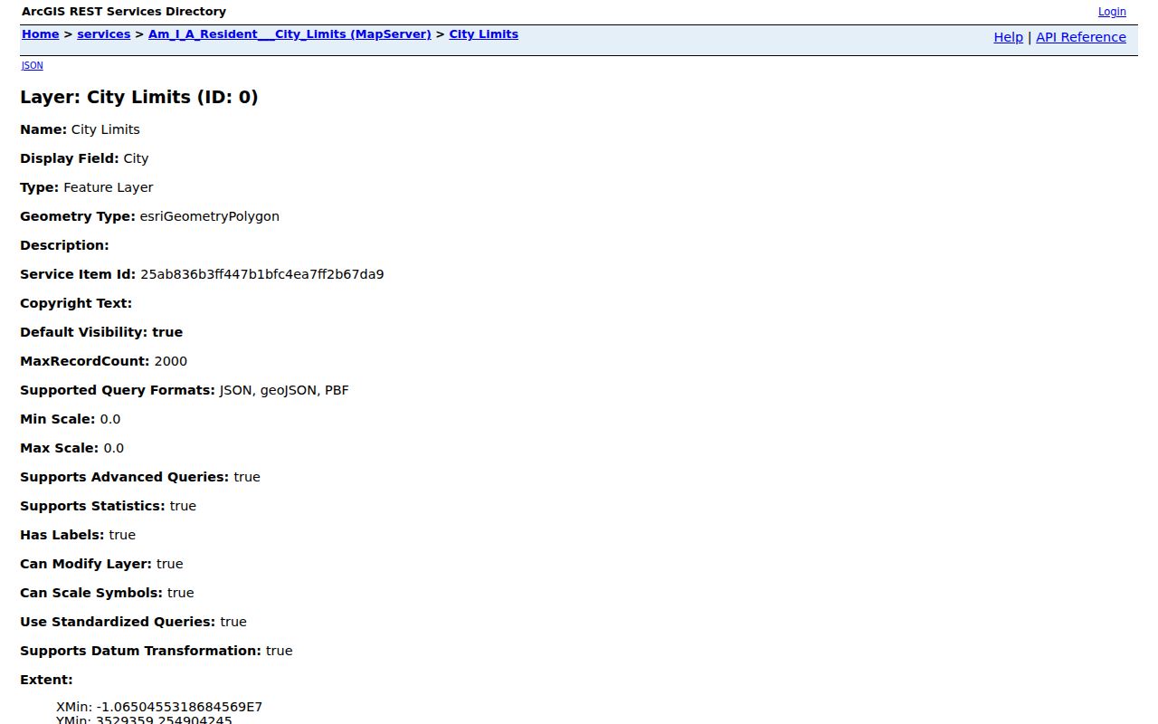
A boundary layer can clarify jurisdiction, but it does not decide a USPS delivery label or identify a household.
Historic Montgomery County Neighbors Blocks
For a historic Conroe block, the Library of Congress offers a 1923 Sanborn set with seven sheets and a 1938 to March 1943 set with nine sheets. Use a street intersection to select a sheet, then record the edition, sheet number, building footprint, construction, number of stories, and nearby features. The map can make an old address easier to place before comparing a dated directory, newspaper, deed, tax roll, or probate record.
A Sanborn label can identify building use, such as residence, store, garage, school, or church. It normally does not name an occupant. That makes it a context layer for Montgomery County neighbors, not an historical roster. Pair a map finding with a dated source and keep the edition date beside the note. Note: Historic block context supports an address trail but cannot establish who lived next door.
Privacy Limits for Montgomery County Neighbors
Texas public-record access has field-level limits. SSNs, Texas driver-license and DPS numbers, protected voter addresses, juvenile material, sealed or expunged records, victim information, and medical or mental-health details are not ordinary public research fields. The Texas Attorney General Address Confidentiality Program supplies a substitute mailing address for qualifying participants. If a voter or related record shows a suppressed address, do not attempt to reconstruct it through parcel or other data.
A Texas Public Information Act request seeks existing public information. It does not require an agency to create a household directory, answer an abstract question, or disclose confidential information. Where an online tool is limited, use the documented route: County Clerk counter or copy request for a known instrument, MCAD for appraisal data, the Elections Administrator's route for its stated purpose, and a specific written request for existing releasable records.