
Follow a Montgomery County Street
For a current Montgomery County street question, preserve the address exactly as received, then make a second search form without its directional or suffix. The first useful record is usually the appraisal parcel, because it connects a situs, or parcel-location, address to a Property ID and legal description. It does not establish a complete household. From there, use the public map for the parcel and its map context, the elections street tool for its limited registration route, and the clerk index for recorded land interests. Each source answers a narrower question than a street directory name suggests.
- Enter the address in Montgomery Central Appraisal District and save the Property ID, situs, legal description, owner field, separate mailing address, and deed-history reference.
- Open the matching parcel in the MCAD tax-parcel GIS service. Compare the lot, block, subdivision, and adjacent parcel geometry before treating two similar addresses as the same place.
- Use the Montgomery County Elections street search with house number, street name, and ZIP. The tool asks users to omit directions and street types, and it accepts partial street stems.
- Search the County Clerk index by the legal description, subdivision, current owner, or instrument number. A street name by itself can retrieve unrelated filings.
- For an older household lead, ask the library whether a criss-cross or reverse directory survives, then compare its printed address with newspapers, maps, and the deed chain.
The order matters. MCAD can supply the parcel key, GIS can test its location, the election tool can provide a registration-status route, and the deed index can identify recorded parties. A person named in one of those records is not automatically a present occupant. Retain the record date and the person’s role each time.
Normalize Montgomery County Addresses
Montgomery County records may use a postal city, a mapped municipality, a subdivision name, or a legal description for the same general place. Try the exact address first, then try a form without N, S, E, W, Road, Drive, or Circle. Test a spelled ordinal against a numeric one, and keep the ZIP and city label as separate fields. An older Conroe address can carry a different ZIP, city label, or lot description today without proving that the address moved.
The Conroe geocoder and basemap are helpful when a street has a duplicate name or lies near a municipal line. The basemap includes city limits, ETJ, surrounding cities, streets, subdivision, lot, and regional county layers. No official countywide street-renumbering list was located, so a changed ZIP should not be called a renumbering. Compare historical deed language, plat restrictions, Sanborn sheets, and directional variants before drawing that conclusion.
Note: A parcel split, alley, corner lot, or postal alias can explain an address mismatch without creating a new residence record.
Search Montgomery County MCAD Parcels
The MCAD property search is the strongest starting point for a Montgomery County street directory inquiry because its labels include Address Search, Owner Search, Property ID Search, Legal Description Search, Subdivision Search, Map Search, and an appraisal-year selector. The public card separates the parcel location from the owner correspondence field. Use the location, Property ID, Geographic ID, and legal description to join sources. Do not use a mailing address as proof that an owner lives at the situs.
| MCAD field | Entry type | Required | Use for street research |
|---|---|---|---|
| Appraisal Year | Dropdown | Not stated | Select the displayed tax or appraisal year. |
| Address Search | Text | Not stated | Use a simplified situs or location address. |
| Property ID / Account Search | Text or number | Not stated | Reuse a stable appraisal identifier. |
| Owner Search | Text | Not stated | Test a recorded owner-name variation. |
| Legal Description | Text | Not stated | Search subdivision, block, lot, or tract wording. |
| Map Search | Map control | Not stated | Browse a parcel after the address is matched. |
MCAD’s observed card fields include status, legal description, owner, mailing address, situs, values, exemptions, and deed-history keys. Appraisal data is not a title guarantee or a count of people at the address. Confirm a transfer in the clerk records and direct a tax-payment question to the Tax Assessor-Collector rather than inferring it from an appraisal record.
Map Montgomery County Street Parcels
The MCAD Tax Parcel Public View exposes a public layer with identify, query, find, export, and KML capabilities. Its inspected metadata names PartyName as the display field and LegalLocationDesc as another visible field. Start at the target parcel, record only the public identifiers and legal text shown, then inspect adjoining parcels one at a time. Map proximity supplies spatial context, not evidence of a personal relationship.
The MCAD Tax Parcel Public View capture documents the service used for Montgomery County street directory work.
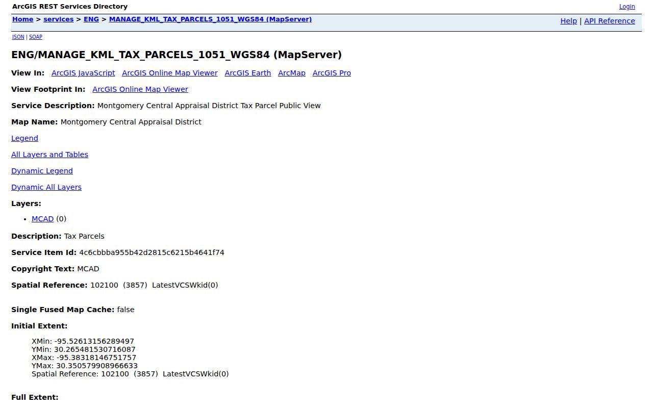
The service is useful for comparing parcel shapes, subdivision context, and city-limit layers before moving into recorded documents. The research did not capture an interactive parcel pop-up, so unobserved map fields should be confirmed in the live service.
Use Montgomery County Voter Street Search
Montgomery County Elections Street Database visibly accepts House Number, Street Name, and ZIP Code. For street-name input, leave off a pre- or post-direction and the street type. The form accepts partial stems, which helps when an address is stored with a different suffix. The returned route is evidence about a registration record or status workflow, not a roster of every person at a home or a title record.
Use the Elections Administrator for help when the web form stops short. The office is at 9159 Airport Road in Conroe, with a mailing address at P.O. Box 2646, Conroe, TX 77305-2646, and lists 936-539-7843 for direct contact. A request for county data should identify the exact file, version, fields, format, and expected redactions. MCMLS can provide older election notices and local-history context, but it does not replace the registrar’s current file.
The official street lookup capture shows the address fields that make ZIP and street-form testing possible.
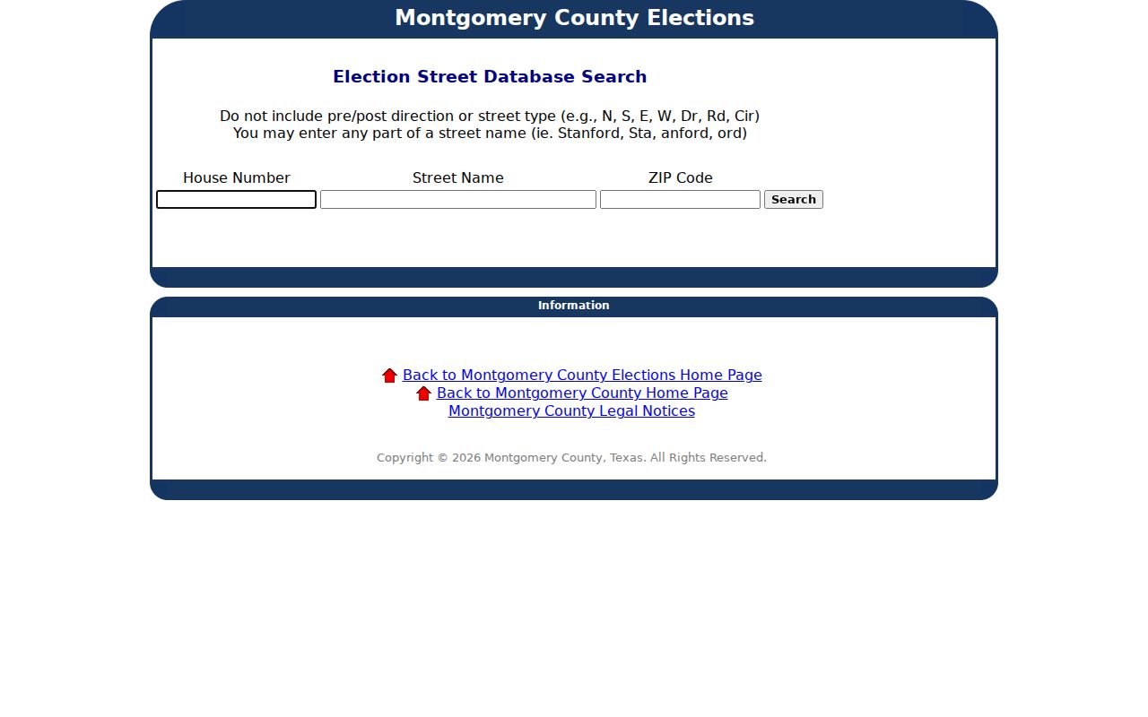
A status such as Suspense is administrative. It is not a finding that a person does not exist at an address, and protected voter addresses can be suppressed.
Trace Montgomery County Deed Records
The County Clerk Official Records Search has a public Quick Search with Search Term, recorded-date range, quick date ranges, an Image control, and index-only or index-and-OCR scope. Search Term can reach grantor, grantee, subdivision, document type, or document number. When two or more words are entered, the index treats each word individually while OCR searches the words as a phrase. Use a recorded-date window and the MCAD legal description or instrument number to reduce noise.
A grantor or grantee is a party to a recorded instrument. That role does not show continuous residence. For a known document, the County Clerk copy form offers the offline route: requests may list an instrument number or book and page, with a stated 24 to 72 hour turnaround, $1 per page, and an additional $5 for certified copies. The counter is at 210 W. Davis, Suite 100, Conroe; mail requests go to P.O. Box 959, Conroe, TX 77305; the listed phone is 936-539-7885.
For early title work, the Texas State Library guide lists Montgomery deed records from 1838 through 1887, with direct and reverse deed indexes on reels 1006024 and 1006025. The modern search screen does not state its earliest online coverage, so the clerk, library, microfilm guide, and FamilySearch catalog remain necessary fallbacks.
Read Montgomery County Address Records
Several Montgomery County sources are keyed to an address, but none should be read as a complete street directory. Pair a record with the question it can answer and its date. A property record identifies an appraisal account. A deed index identifies recorded parties. A voter route concerns registration. A permit or environmental report connects an event or file to a place. The distinctions keep a street-by-street search accurate.
| Address record | What it can support | Custodian | Access route |
|---|---|---|---|
| MCAD appraisal card | Parcel, situs, legal description, owner field, mailing field, deed keys | MCAD | Public portal, office contact |
| Tax-parcel GIS | Parcel geometry, legal-location text, adjoining lot context | MCAD / Conroe GIS | Public map service |
| Official instrument index | Grantor, grantee, instrument, date, book or page | County Clerk | Public search, counter, or copy form |
| Election street route | Address and registration-status lookup path | Elections Administrator | Street form, phone, or file request |
| Permit or environmental file | Project, permit number, legal description, dated site event | Conroe / Environmental Health | GIS layer, form, PIA, mail, or fax |
| Historic directory or newspaper | Public association with a printed address at publication time | MCMLS / archives | Library and digitized collections |
- Parcel
- A defined piece of land represented by a property identifier and legal description.
- Situs address
- The parcel’s location address, distinct from an owner’s correspondence address.
- Plat
- A recorded map that lays out lots, blocks, streets, or subdivision boundaries.
- Criss-cross directory
- A reverse directory arranged by street and house number instead of by surname.
Request Montgomery County Permit Files
Conroe engineering layers can expose file number, DPN, record date or year, initial and final certification dates, and an item description. They are not a complete permit database. For the file behind a map result, use the City Secretary’s Public Information Act route or request the existing permit or code file by address, dates, and known file number. A public-information request seeks an existing record, not a newly created address list.
Environmental Health Services also has an address-focused request form for public reports, permit numbers, and environmental-concern records. It asks for a property address, current or former owner, permit number, or legal description. The inspected form says a public-information version of an address-related report is typically supplied within ten business days at no charge; another request type can require an OAG ruling and take longer. The office lists 501 N. Thompson, Suite 101, Conroe and 936-539-7839.
Note: A project file ties an event to a location and date, not necessarily to a current street resident.
Compare Montgomery County Street Maps
For a historic Conroe street, the Library of Congress offers a seven-sheet 1923 Sanborn set and a nine-sheet 1938 to March 1943 set. Find an intersection, identify the sheet, read the building footprint and use, then pair that place evidence with a dated directory, newspaper, deed, or tax record. A Sanborn sheet can show a residence, store, rail line, church, or other built context. It usually does not name an occupant.
The library route is equally important when a reverse directory is needed. No scanned Montgomery County criss-cross volume was located. MCMLS Genealogy & Local History can be asked about reverse, telephone, Polk-style, or obituary holdings and their surviving years. Confirmed Conroe city-directory catalog years are 1984, 1988, 1990, and 1992; the historical shelf is treated in more depth in the Montgomery County city directories.
Montgomery County Street Privacy Limits
A Montgomery County street directory cannot establish every current occupant, household relationship, ballot choice, or protected address. Owner mail fields may be outside the county. A parcel map does not prove a personal connection between adjoining lots. Texas law also protects Social Security numbers, driver-license and DPS identifiers, protected voter addresses, victim and juvenile information, medical or mental-health details, and sealed or expunged material. When an election record shows a suppressed address, do not try to reconstruct it from other sources.
Lawful use. Use Montgomery County address records for a personal, lawful purpose and the smallest record set needed. Do not use them to stalk, harass, intimidate, or expose protected information.
A specific written request can be mailed, emailed, or hand-delivered under the Texas Public Information Act when a portal lacks the record. The request should identify the existing file and date range. Inspection, a counter terminal, a plain copy, a certified copy, library materials, and archival microfilm are separate access paths, each with its own limits.