
Montgomery County ZIP Code Coverage
The Texas Department of Insurance county appendix associates 23 ZIP codes with Montgomery County community and postal-city labels. It is a geography reference, not a USPS change-of-address authority. The table retains the labels recorded in that source and flags the local checks that matter most. Verify an exact delivery point with USPS, then use a parcel or municipal layer if a jurisdiction decision is needed.
| ZIP | Areas covered | Post Office | Notes |
|---|---|---|---|
| 77301 | Core Conroe delivery area | Conroe label | Test city limits separately. |
| 77302 | South and east Conroe area | Conroe label | Postal label is not a city boundary. |
| 77303 | North and east Conroe area | Conroe label | County and city overlays can differ. |
| 77304 | West Conroe area | Conroe label | Verify parcel and city layer. |
| 77305 | Conroe delivery association | Conroe label | Do not infer parcel situs from ZIP alone. |
| 77306 | Rural and east county area | Conroe label | Check street and municipality. |
| 77316 | Montgomery-area delivery geography | Montgomery label | Municipal limits and county differ. |
| 77318 | Willis-area delivery geography | Willis label | Verify precinct and city boundary. |
| 77353 | Magnolia-area delivery geography | Magnolia label | A subdivision can use another postal city. |
| 77354 | Magnolia-area delivery geography | Magnolia label | Use a parcel map for Woodlands or Magnolia questions. |
| 77355 | North and west county area | Magnolia label | County-associated Magnolia label. |
| 77356 | Lake and Montgomery area | Montgomery label | Use legal description and city layer. |
| 77357 | East and southeast county area | New Caney label | County-associated delivery label. |
| 77362 | Pinehurst-area delivery geography | Pinehurst label | Confirm city, ETJ, and county jurisdiction. |
| 77365 | Porter-area delivery geography | Porter label | Check outer county and municipal boundary. |
| 77372 | Splendora-area delivery geography | Splendora label | Not the same as incorporated area. |
| 77378 | Willis-area delivery geography | Willis label | Exact street controls local record routing. |
| 77380 | The Woodlands-area delivery geography | Spring label | Verify parcel and community name. |
| 77381 | The Woodlands-area delivery geography | Spring label | Source context can use a Conroe physical address. |
| 77382 | The Woodlands-area delivery geography | Spring label | Community name and postal label can differ. |
| 77384 | Woodlands and county-associated area | Conroe label | Check subdivision and city limits. |
| 77385 | County-associated delivery geography | Conroe label | Check exact street and service area. |
| 77386 | Imperial Oaks and Spring area | Spring label | Election notices also use Imperial Oaks. |
The Montgomery County ZIP code directory is most useful as a first sort. It groups place labels, but an individual delivery address still needs USPS confirmation and a separate local-jurisdiction check.
Read Montgomery County Conroe ZIPs
Conroe labels appear for 77301 through 77306, and also for 77384 and 77385 in the inspected county table. Those labels cover core, west, north, east, rural, and county-associated delivery areas in the source, but they do not settle city residency. The same distinction matters for public records: county records use Montgomery County jurisdiction, while city records need the appropriate municipality and city-limit result.
Use the Conroe basemap and city-limit service to test the parcel after verifying the ZIP. The basemap includes streets, surrounding cities, city limits, ETJ, subdivision, lot, and regional county context. For a city record that is not online, the City Secretary’s records route accepts a request for existing records described by address, date, and name. A ZIP code is helpful search context, not a substitute for those identifiers.
Sort Montgomery County Rural ZIPs
The county table also groups ZIP labels around Montgomery, Willis, Magnolia, New Caney, Pinehurst, Porter, and Splendora. Postal geography can cross a municipal line or extend over an unincorporated area. Keep the delivery city printed by the source separate from mapped municipality, county, subdivision, and legal description. That one habit makes it easier to select a county clerk, city office, election route, or appraisal search without assuming the wrong coverage.
For a parcel-based question, use MCAD Address Search or Map Search after the ZIP has narrowed the area. MCAD’s advanced path was observed, but a dedicated ZIP field was not confirmed in the captured labels. If a ZIP filter is unavailable, search the street, subdivision, owner, legal description, or map instead. County deed Quick Search also does not show a dedicated ZIP field because deeds generally use legal land descriptions rather than postal routes.
Note: Preserve the source’s city label even when a map or local office uses a different community name for the same general area.
Check Montgomery County Spring Labels
The Woodlands is the clearest local ZIP mismatch. Addresses commonly use Spring ZIPs 77380, 77381, 77382, 77385, or 77386, while a community or subdivision may say The Woodlands and the parcel remains in Montgomery County. The source table can also show 77384 and 77385 with Conroe labels near Woodlands or Spring references. Neither label, by itself, answers a city-limit or county-record question.
Local boundary check. Compare three fields before choosing an office: the postal label, the mapped parcel or municipality, and the Montgomery County jurisdiction.
Community records can introduce another layer. Election notices name Windsor Hills in 77384, Westwood in 77354, Imperial Oaks in 77386, and April Sound in 77356 as community-place leads. They are not resident lists. The Texas HOA management-certificate search can filter by county, city, ZIP, and type, but its own disclaimer warns that completeness and reliability are not guaranteed.
Search a Montgomery County ZIP
Use a ZIP as one part of an address search, then confirm the parcel and relevant record system. The elections street tool is the documented Montgomery County route with a direct ZIP entry. MCAD supports address and map searching, while the Conroe geocoders accept ZIP or postal and city fields. The deed index should be searched through name, subdivision, legal description, instrument, and recorded date, not by a ZIP that its Quick Search does not offer.
- Verify the delivery ZIP and city label with USPS, then preserve both exactly as returned.
- Enter the house number, simplified street name, and ZIP in the Elections Street Database.
- Use the address, subdivision, or map route in MCAD to identify a parcel and legal description.
- Compare city limits, ETJ, and surrounding-city layers before choosing a municipal records office.
- Use the legal description, owner, or instrument number in the County Clerk index if the question concerns a recorded property interest.
Once a ZIP narrows the area, the Montgomery County street directory provides the fuller address-to-parcel, map, election, and deed sequence.
Use Montgomery County Election ZIP Fields
The Elections Street Database is the captured local search tool that explicitly accepts a ZIP Code field. It asks users to leave directions and street-type words out of Street Name and allows partial street stems. That makes it useful when a delivery address appears under a shortened or differently formatted street name. A registration result is not a census of occupants and may contain protected or suppressed information.
| Field | Type | Required | Format note |
|---|---|---|---|
| House Number | Text | Not explicitly marked | Use the address number to narrow a street lookup. |
| Street Name | Text | Not explicitly marked | Omit direction and street type; partial stems are accepted. |
| ZIP Code | Text or numeric ZIP entry | Not explicitly marked | Use the delivery ZIP as one local search field. |
| Search or submit | Button | Not applicable | Runs the street-database query route. |
The Elections Administrator can help with current registration status, street-database procedure, or a file request. The office lists 9159 Airport Road, Conroe, 936-539-7843, and a P.O. Box 2646 mailing address. Written requests should state the file, version, fields, delivery format, and expected redactions.
Verify Montgomery County Delivery ZIPs
Use the USPS ZIP Code Lookup for the final delivery check. No live Montgomery County address result was captured. USPS confirmation should be followed by a map or appraisal search when the question concerns parcel location or government jurisdiction.
The successful USPS lookup capture shows the official delivery-verification starting point for Montgomery County ZIP code directory research.
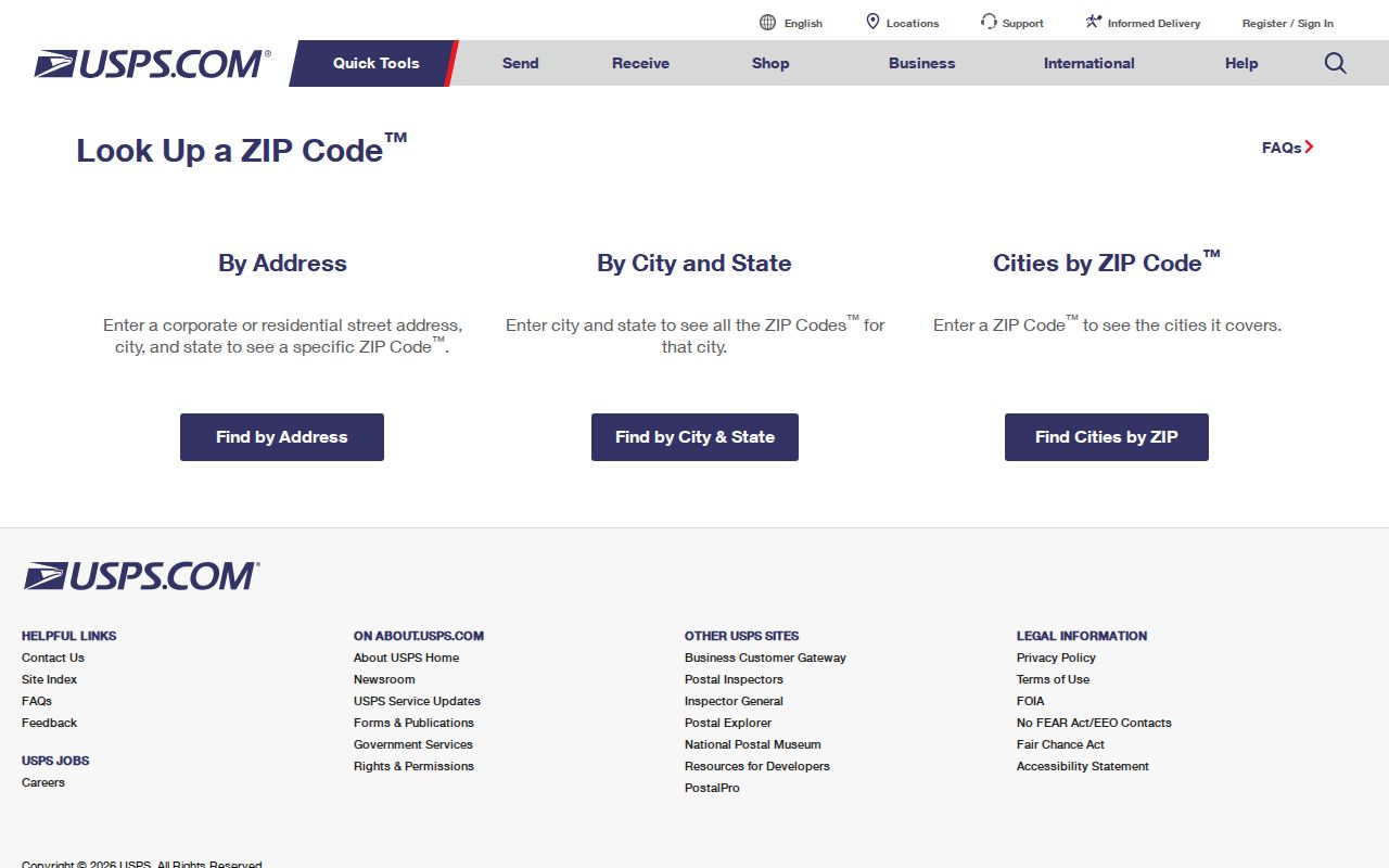
If a search returns no result, retry without the ZIP, with a street-only or partial-street form, with an alternate city label, and through the geocoder or MCAD map. Record which query form worked so a future lookup can be checked again.
Compare Montgomery County ZIP Limits
A ZIP code is a USPS delivery route, not a municipal boundary. Census ZIP Code Tabulation Areas, or ZCTAs, are generalized representations built from census blocks and are not USPS delivery boundaries. A valid ZIP can be noncontiguous, PO-box-only, or assigned to a single institution. Use a ZCTA map only for its stated census purpose, not to decide whether a home is inside a city.
- ZIP versus ZIP+4
- A ZIP identifies a delivery area; ZIP+4 adds a more specific delivery segment.
- PO-box ZIP
- A ZIP used for post-office boxes that does not establish a property’s physical situs.
- Unique ZIP
- A ZIP assigned to a single institution or organization, distinct from a broad delivery area.
- Carrier route
- A USPS delivery sequence within an area, not a municipal or parcel boundary.
Normalize Montgomery County ZIP Records
For each Montgomery County ZIP code lookup, maintain separate fields for house number, street, suffix, directional, unit, subdivision, lot or block, postal city, mapped municipality, county, and ZIP. This prevents Spring, Conroe, Magnolia, Montgomery, and Woodlands labels from being silently merged. It also preserves the evidence needed to retry a query when one portal uses a legal description while another uses a street address.
Historic material needs the same care. Preserve the ZIP printed in a directory or newspaper and the current USPS ZIP separately. No official Montgomery County ZIP realignment or creation history was located in the research, so a changed ZIP should be described as a postal-routing difference unless a source documents more. For older address work, compare a directory or newspaper with a Sanborn sheet, deed legal description, and map layer.
Montgomery County ZIP Record Limits
A Montgomery County ZIP code directory can organize an address search, but it cannot establish current household membership, ownership, city residency, or a personal relationship. MCAD distinguishes parcel situs from owner mailing address. Election records reflect registration status, not ballot choices or all people at an address. Deed records describe a recorded interest, not continuous residence. Keep those limits beside every ZIP-filtered result.
When a local portal lacks the needed record, use the appropriate custodian rather than trying to infer it from delivery geography. The County Clerk offers online indexing, counter access, phone support, and a mail copy form for known instruments. City records can be sought through a specific Public Information Act request. MCMLS, TSLAC, and archive channels can help with historical context. Do not use a ZIP, map, or parcel record to reconstruct a protected address.